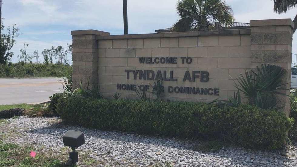
BAY COUNTY, Fla. (WJHG/WECP) – Imagine being able to see the components of a potentially dangerous situation in live 3-D and with fine detail without even having to send a human in to survey the area. It’s possible, and that’s one of the reasons why experts from the Air Force Civil Engineer Center are asking industry leaders to showcase the capabilities of ‘Lidar’ mounted on various robotic and small unmanned aerial system platforms.
“There’s a, let’s say, an aircraft mishap—maybe it could be in a place where there’s no way a person can go in, you can send either the drone to fly over to get some recon information or you could send the dog in to see what’s on the ground.. maybe there’s some hazardous material, maybe some unexploded ordinance that needs to be taken care of without having someone risk their life there,” Geobase Technician SSgt Javier Rodriguez said.
Lidar is short for “light detection and ranging.” It’s a remote sensing method that uses light in the form of a pulsed laser, a scanner, and a specialized GPS to measure variable distances. When lidar is paired with other advanced technologies, the warfighter can view and create a digital twin model.
“The higher resolution, the more accurate that our information is on what OUR systems are in the facility/what the condition looks like on the outside, lets us maintain our facilities more appropriately… and again, the big investment here at Tyndall after Hurricane Michael is we want to make sure we are spending our dollars appropriately and that we’re being able to maintain our facilities for the taxpayer,” Engineering Force Development Manager SMSgt Michael Bowman said.
“It’ll help each installation have a ‘digital twin’ of their asset infrastructure — be it pipelines, be it utilities, be it HVAC, be it the facilities themselves,” Geobase Program SUAS Capabilities Developer Jose Alfonsin said.
The uses for the lidar and unmanned systems platforms technology combination in the civil engineer community are almost endless.
“Something that the RADAS program is really looking for is Lidar—that’s kind of the gold standard—because then we can start getting a lot of other information we couldn’t get before from just standard pictures; we can calculate how much material we need to repair based on the craters and the fill volumes and all those things,” Rapid Airfield Damage Assessment System Program Manager Sean Cloud said.
“Here—the ‘det’ at Silver Flag, we’re in a really unique position with our proximity to AFCEC that we’re kind a test bed for a lot of these new technologies, and I feel real fortunate as an instructor, that I’m able to get eyes and hands on those,” Engineering Contingency Training Instructor TSgt Patrick Hayes said.
The lidar demonstration event is part of the Air Force’s continuing “accelerate change or lose” strategy to help the service remain the most dominant and respected Air Force in the world.
Copyright 2021 WJHG. All rights reserved.
Credit: Source link


